
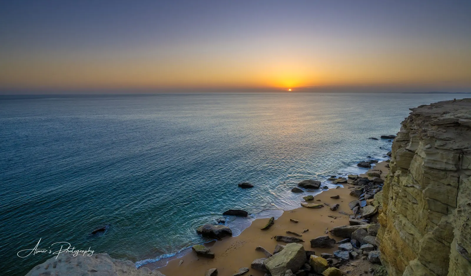
Makran Coast Photography Tour
Pakistan's other landscape: eroded badlands, empty beaches and the Arabian Sea along the Makran Coastal Highway to Gwadar.
The Makran Coastal Highway runs about 650 kilometres from near Karachi to Gwadar, between a desert of eroded rock and the Arabian Sea. It is the opposite of the north, and just as photogenic.
I drove 5,000 kilometres round trip to photograph this coast, and wrote about it in a photo essay on the Makran Coastal Highway. The first half of the road crosses Hingol National Park, the largest in Pakistan, where wind and rain have carved the hills into spires and walls.
Beyond Hingol the highway meets the sea at Kund Malir and follows it west through Ormara and Pasni to Gwadar, where a hammerhead peninsula gives clifftop views over two bays.
- Best season
- November to February
- Altitude
- Sea level
- Base
- Karachi, Ormara and Gwadar
- Access
- Makran Coastal Highway (N-10) from Karachi
Locations
What you will photograph
Hingol National Park
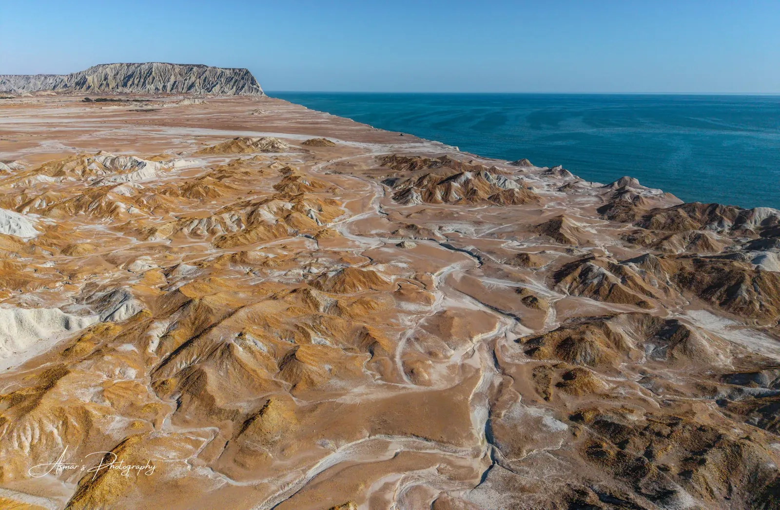
Fluted badlands, mud volcanoes and the rock formation known as the Princess of Hope.
Kund Malir
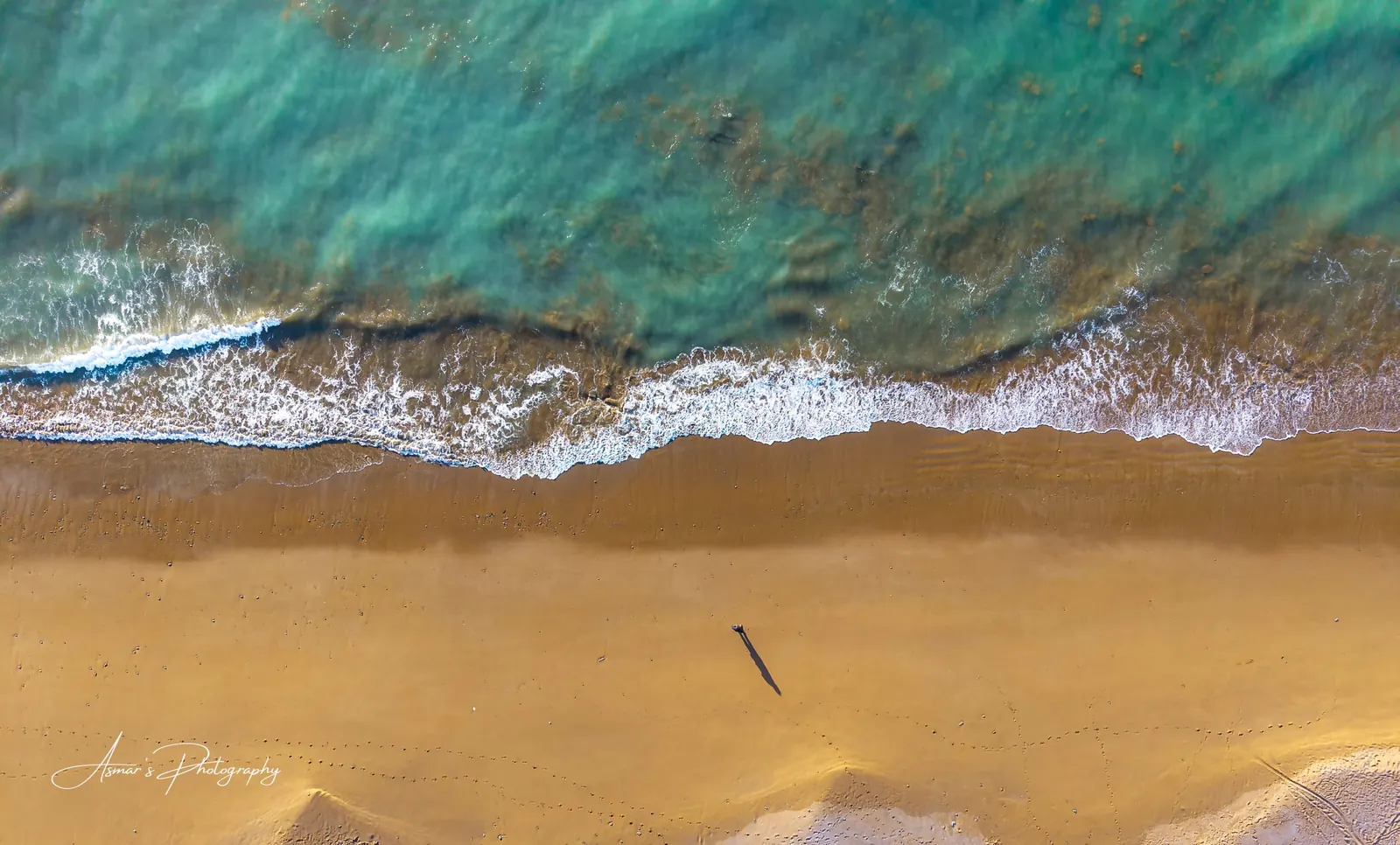
A long empty beach where the desert hills come down to turquoise water.
Buzi Pass
The highway winds through pale eroded cliffs; the classic road photograph of the trip.
Ormara and Pasni
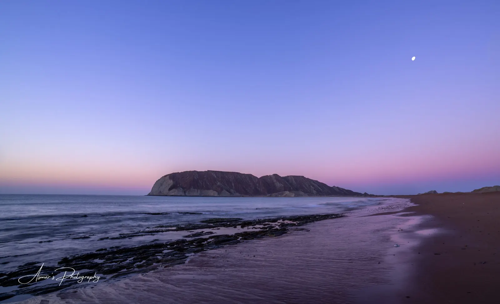
Fishing towns with wide beaches, boats and soft evening light.
Gwadar
A hammerhead headland with sunset views from the cliffs, and Golden Beach nearby.
Pishukan, Ganz and Jiwani
Quiet coast west of Gwadar toward the Iranian border, with orange and white badlands meeting the sea.
Light and season
When to go
- Shoot the badlands at sunrise and sunset; midday light flattens the texture.
- Midday is best for the water, when the high sun turns the shallows turquoise.
- Winter gives mild temperatures and clear air. Summer heat on this coast is severe.
See the month-by-month guide to the best time to photograph Pakistan.
From my archive
Photographs from Makran Coast, Balochistan
Practical notes
Before you travel
- Distances are long and services are far apart, so fuel, water and timing are planned carefully.
- Travel arrangements in Balochistan follow current local guidance, and foreign visitors may need prior clearance.
- A drone, where permitted, transforms this coast.
- A tripod and neutral density filters open up long exposures of the sea.
Plan your trip
Photograph Makran Coast, Balochistan with me
Tell me your dates and what you want to photograph, and I will plan a private itinerary around the light. Tours are operated through Travelbug, the travel company I co-founded, which arranges transport, stays and permits.
Every tour is privately quoted. No fixed packages or departure dates.
Questions
Good to know
When is the best time to photograph the Makran coast?
November to February, when days are mild and the air is clear. Summers are extremely hot.
How long is the Makran Coastal Highway?
About 650 km from its start near Karachi to Gwadar, with Hingol National Park and Kund Malir in the first half.
What will I photograph on this route?
Desert badlands, mud volcanoes, long empty beaches, fishing harbours and clifftop sunsets over the Arabian Sea.
Can foreign visitors travel the Makran coast?
It is possible, but arrangements depend on current local guidance and may need advance clearance. This is confirmed before any booking.
Keep exploring
Related tours and guides

Muhammad Asmar Hussain
Award-winning Pakistani landscape photographer, Sony Brand Ambassador for Landscape Photography, TEDx speaker and Co-Founder of Travelbug. Published by National Geographic and a winner at the Sony World Photography Awards. More about Asmar.